
Hydropark

An island park between the Dnipro and the Rusanivska channel, laid out in the 1960s on the site of a burned-down suburb: beaches, the Venetian Bridge, the Metro Bridge and the Kachalka gym.
From Peredmostova Slobidka to a leisure island
Venetsianskyi Island, which holds most of Hydropark, was largely made by the Dnipro itself. In the mid-19th century this was still floodplain on the left bank, dotted with a chain of lakes. A major flood in 1877 cut through them to form the Rusanivska channel, and an island appeared; over the following decades dams joined it to the bank and the river cut it off again.
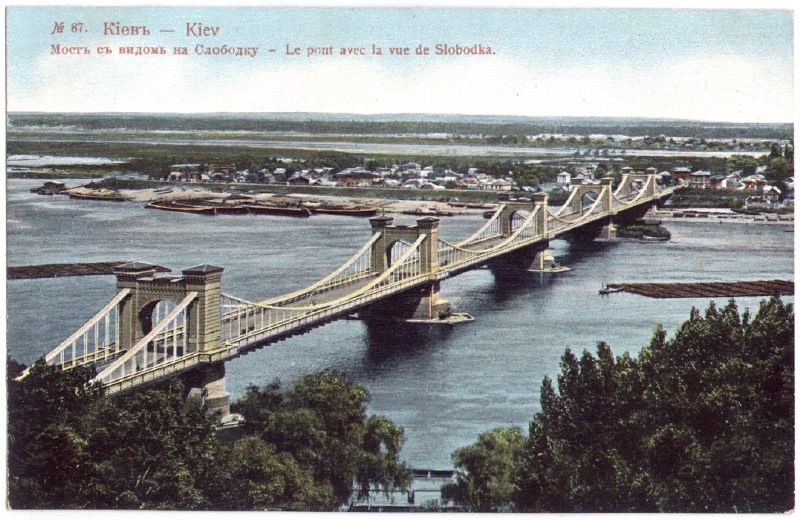
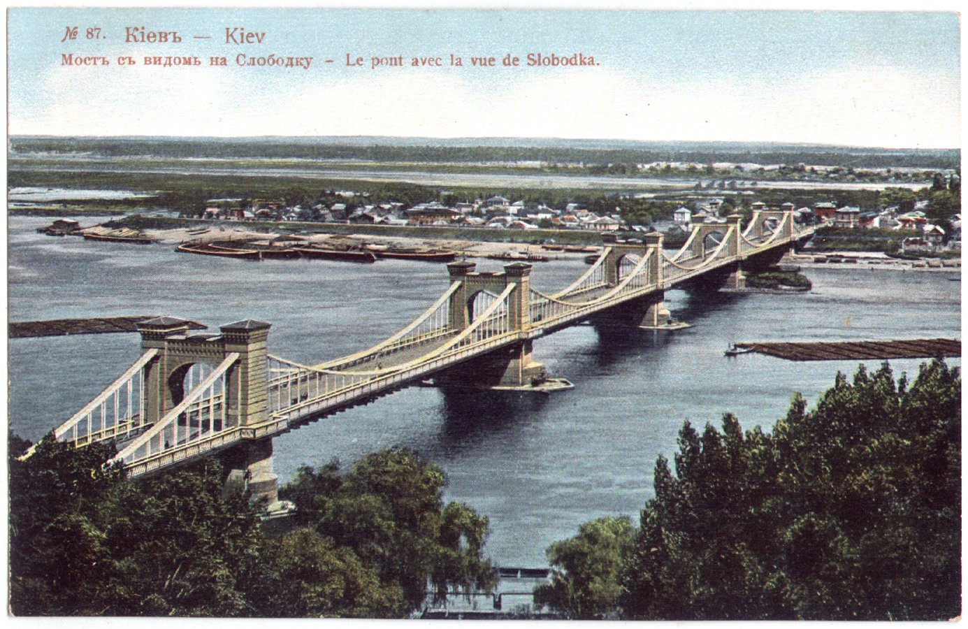
People had lived here since the 18th century, and after the Chain Bridge opened in 1853 the settlement at its left-bank end became known as Peredmostova Slobidka, the "bridgehead suburb". In the late 19th century a summer garden called Venice opened on the island, with the New Venice restaurant, a stage and a theatre. That is where the name "Kyiv Venice" came from, and it survives in the names of the island, the channel and the bridge. In October 1943 the retreating German occupiers burned the settlement to the ground, and after the war it was never rebuilt.
The Metro Bridge and the birth of Hydropark
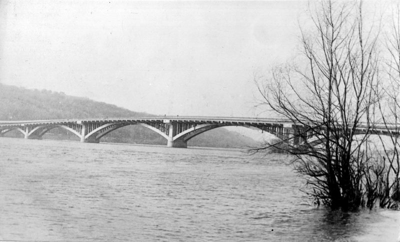
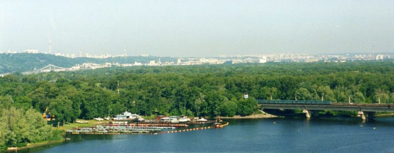
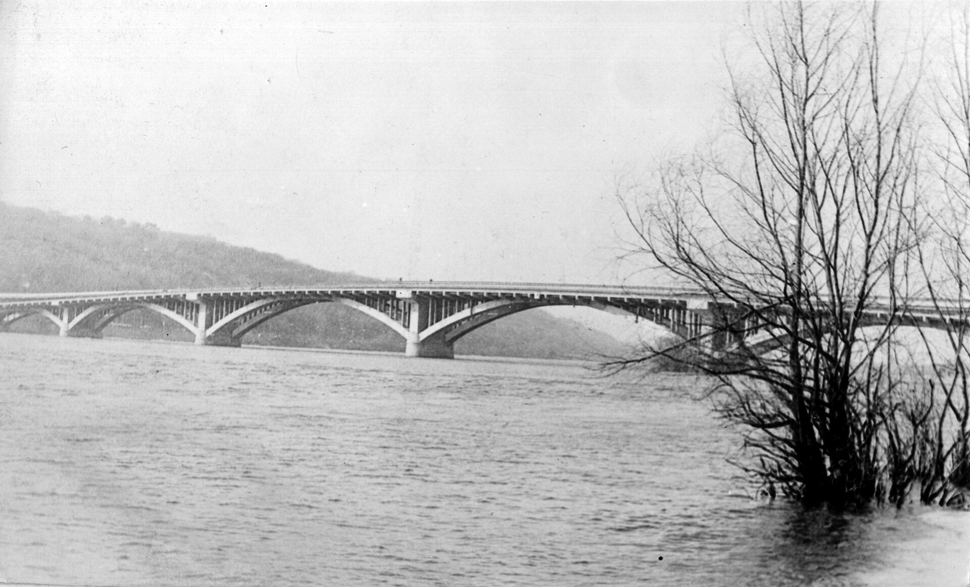
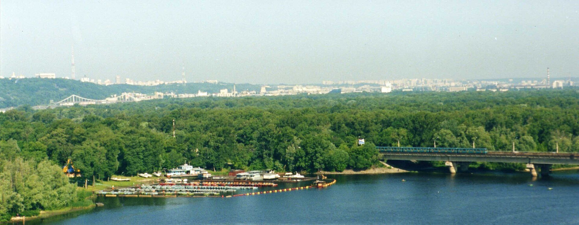
The island park came with the metro line to the left bank. On 5 November 1965 the Metro Bridge opened: a two-level structure designed by engineer Heorhii Fuks, with trains on top and cars below. The same day the surface station Hidropark opened. It is still the only station in Kyiv with no connection to other public transport, because it leads only to the island.
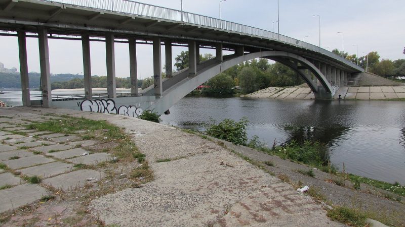
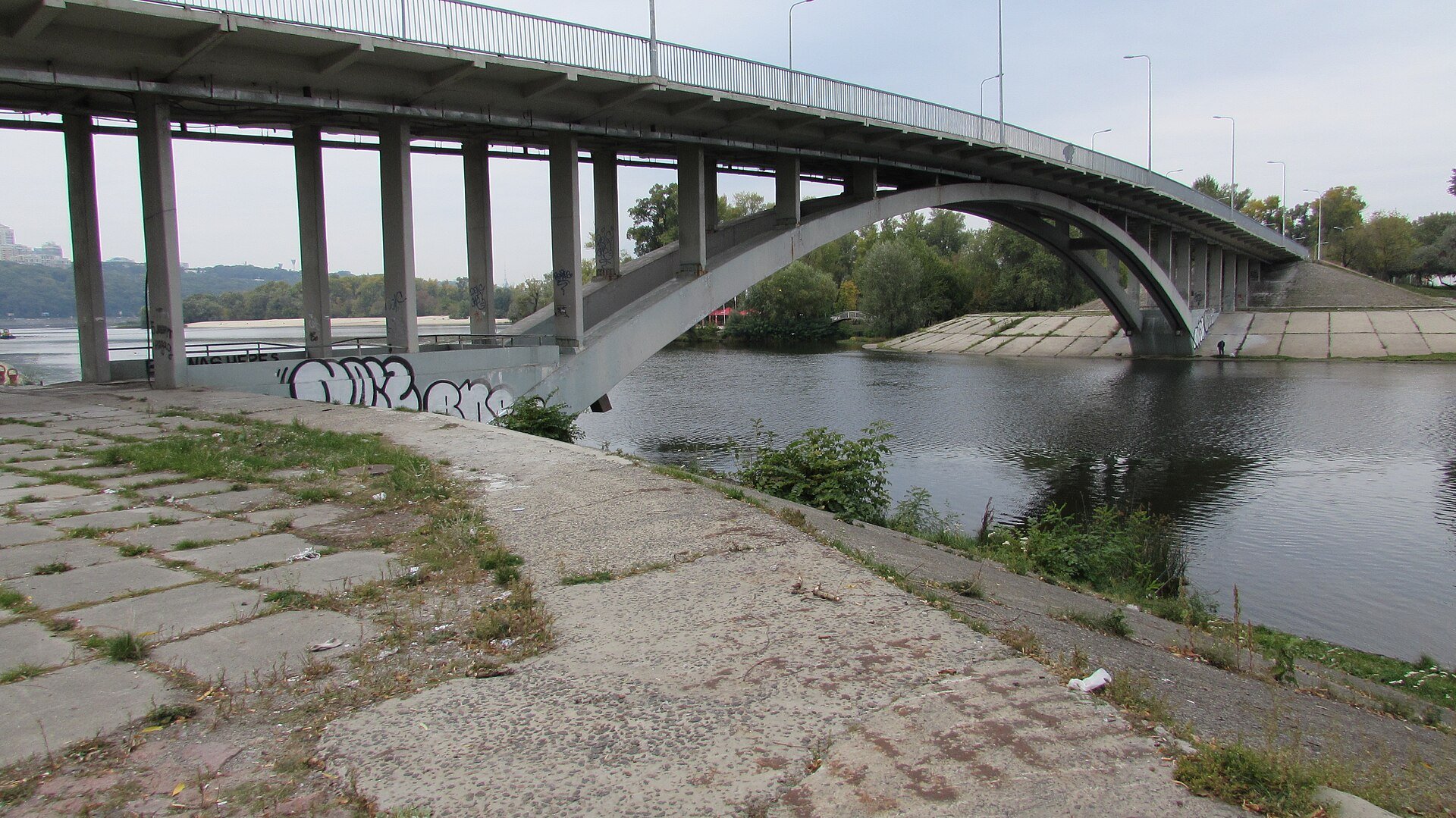
In 1965–1968 the site of the old settlement was laid out as a recreation area with beaches, boat stations, sports grounds and cafés, designed by architects Vsevolod Suvorov and Ihor Shpara. In 1966 the low-arched, 144-metre Venetian Bridge was thrown across the Venetian channel to link Venetsianskyi Island with Dolobetskyi Island. Summer crowds ran into the tens of thousands: in the 1970s a second platform was added at the station just to let passengers off, and in 1987 an eastern exit opened, used only in the warm season.
Beaches, channels and Dolobetskyi Island
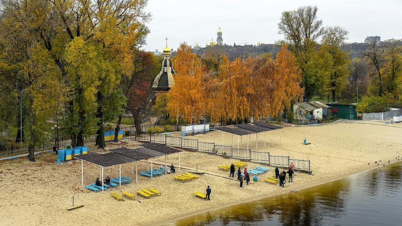
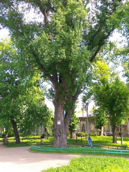
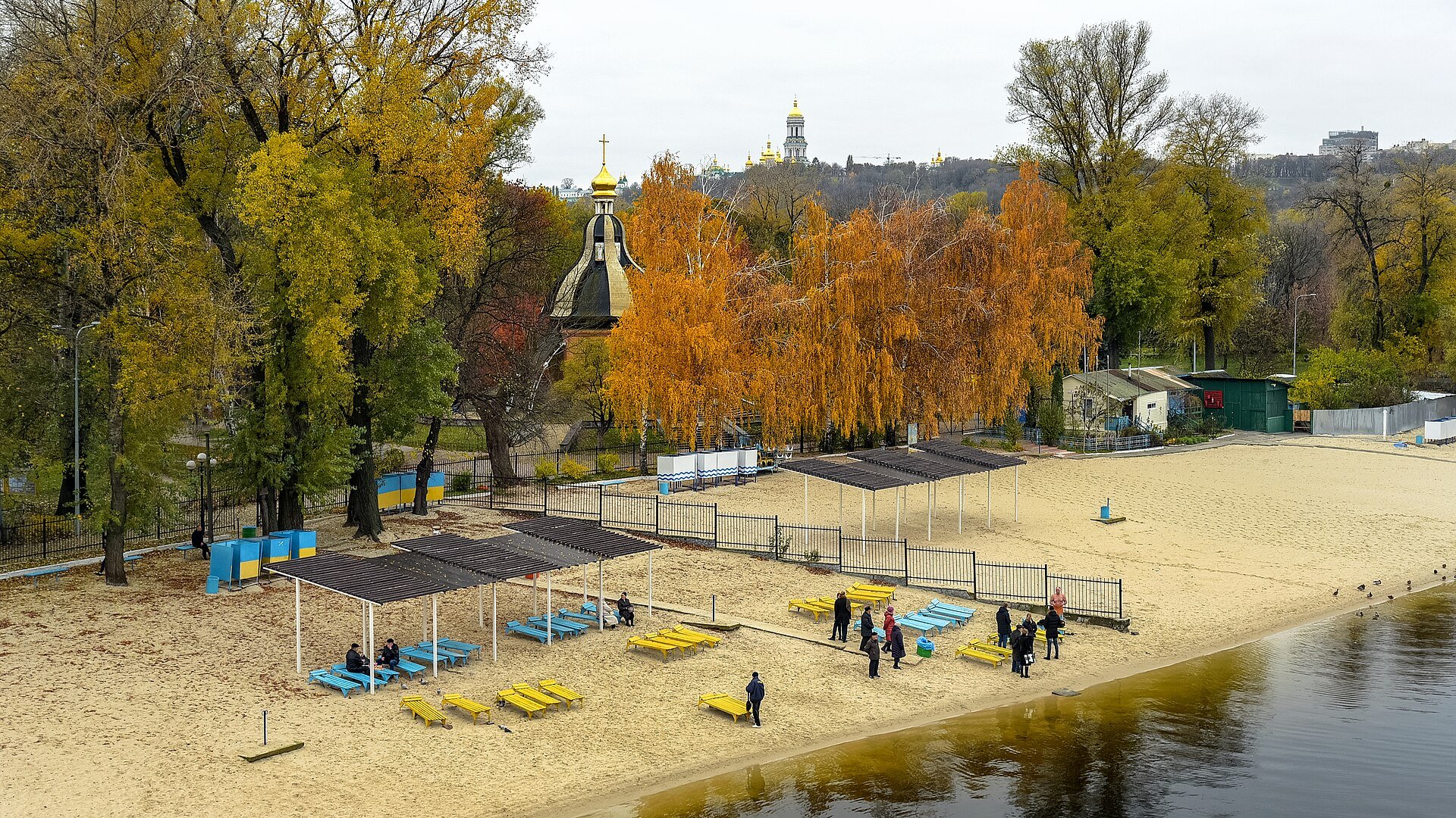
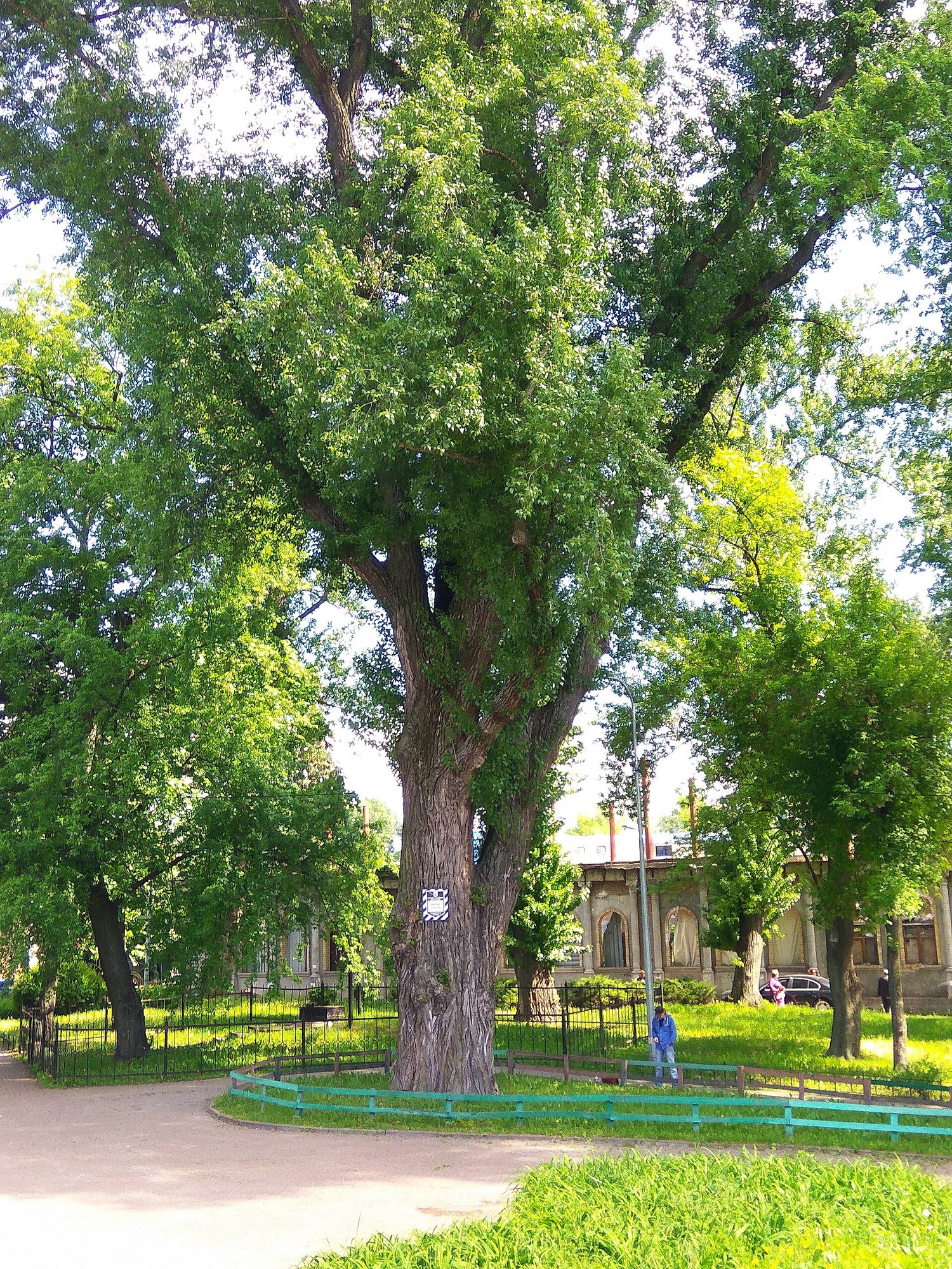
Hydropark is above all about beaches. The ones nearest the metro run along the Venetian channel, looking across to the Pechersk hills and the Lavra. Beyond the bridge lies Dolobetskyi Island, with long sandy spits along the Chortoryi channel. The municipal beaches here include Venetsiia, Tsentralnyi, Molodizhnyi, Peredmostna Slobidka and Chortoryi, along with boat stations and fishing spots. The island also has huge old black poplars, some of the oldest trees on the left bank.
Since 2022, because of martial law, Kyiv has not officially opened its swimming season: there are no shelters on the beaches, and the city asks people not to gather by the water in large groups. Even so, the municipal company Pleso cleans the beaches and tops up the sand, and health officials test the water regularly. In June 2026 Venetsiia, Chortoryi, Molodizhnyi, Peredmostna Slobidka and Tsentralnyi met the standards. Anyone who swims does so at their own risk. At Epiphany, as for decades, the island is where people take the traditional plunge through the ice.
The Kachalka and other island landmarks
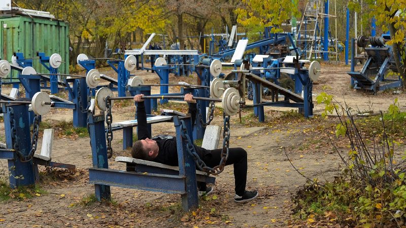
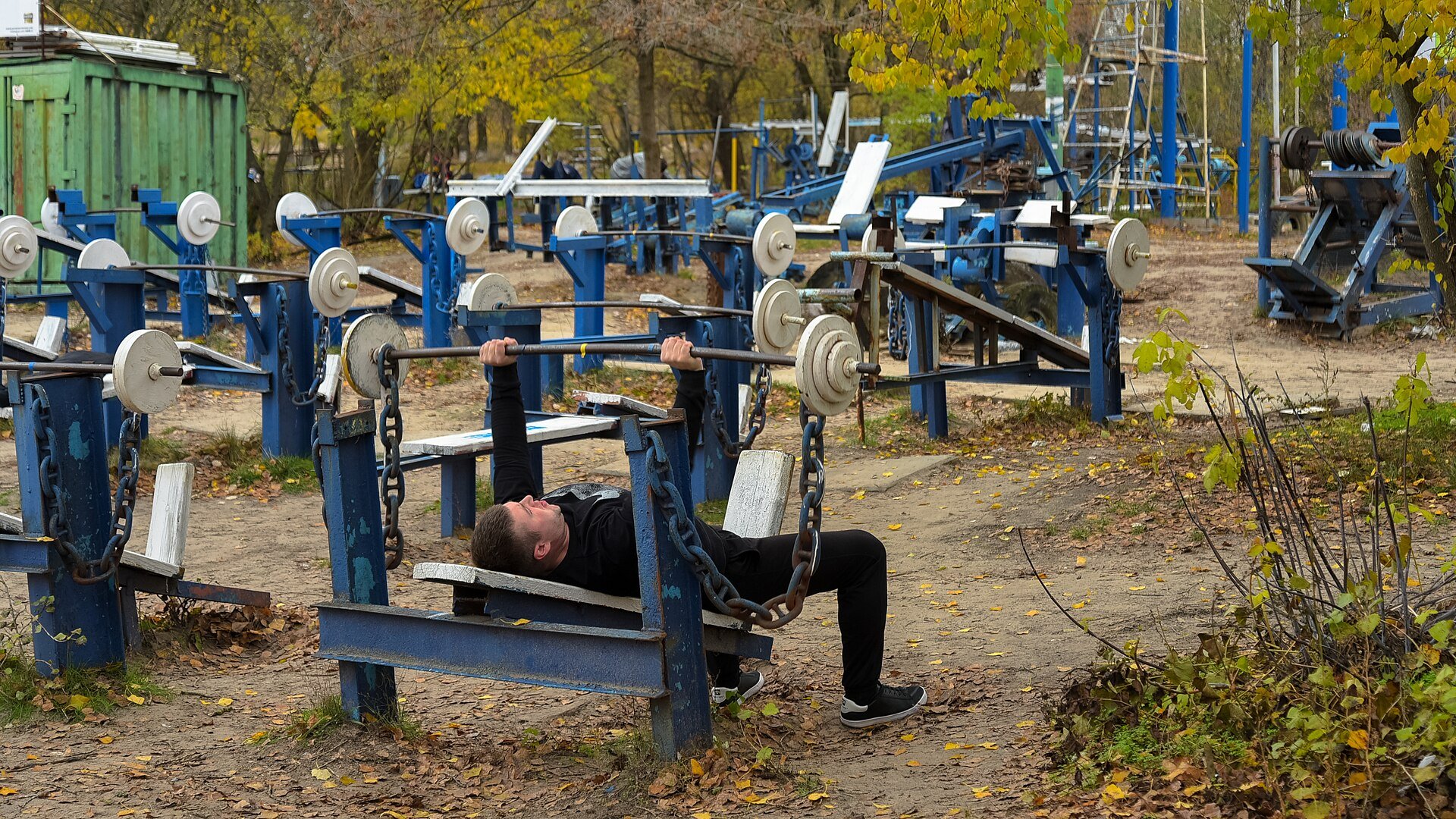
The island's best-known landmark was never planned: the Kachalka, an open-air gym. It began in the 1970s with a single pull-up bar between two trees. Later Yurii Kuk, usually named as its founder, began welding machines out of rails, tractor parts, radiators and stones. Today there are more than two hundred home-made machines, entry is free, and Reuters, Time and other foreign media have written about the "world's toughest gym".
Next to the metro station, the Kyiv in Miniature park has displayed models of the city's landmarks since 2006. The rest of the island is paths, small lakes left over from old channels, cafés and boat hire. It is best visited in the morning or on a weekday, and the Venetian Bridge has one of the best views of the right bank.
Photo gallery · 7 photos
Through the years
-
-
-
-
-
-
-
Then and now
Compare yourself
Drag the slider to see how the place has changed.
Slider


Photo overlay
Video
Hydropark on screen
“Качалка” у Гідропарку. Найсуворіша у світі — Ukrinform · YouTube


Guide
Similar places
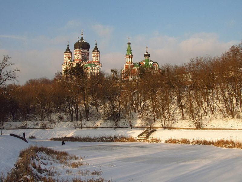 Feofaniia ParkA former bishop’s retreat and monastic skete in southern Kyiv: a cascade of ponds, springs, the pink-and-white St Panteleimon Cathedral and the birthplace of continental Europe’s first computer.
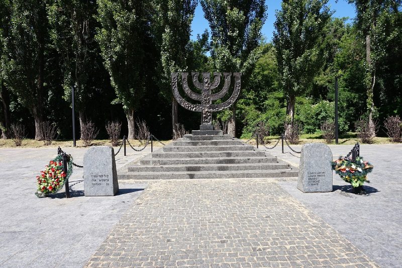 Babyn YarThe ravine where the Nazis shot tens of thousands of people in 1941–1943, above all the Jews of Kyiv. Today a memorial preserve with the Menorah, the Symbolic Synagogue and dozens of memorials.
 Fomin Botanical GardenKyiv’s oldest botanical garden (1839), right behind the university’s Red Building: terraces and alleys, the spring Magnolia Garden and glasshouses with century-old palms.


